https://noaa.maps.arcgis.com/apps/MapSeries/index.html?appid=d9ed7904dbec441a9c4dd7b277935fad&entry=1
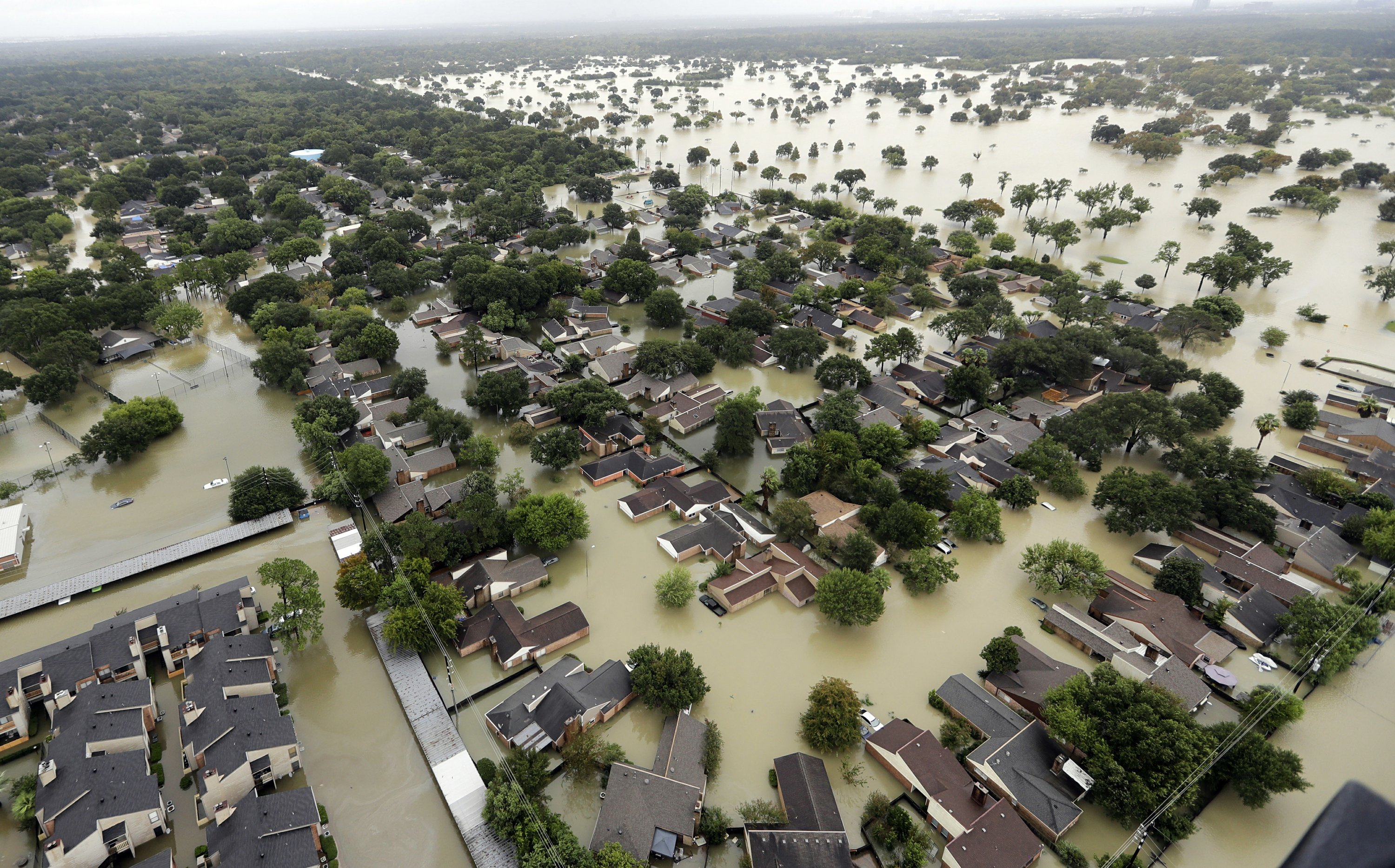
This national depiction of storm surge flooding vulnerability helps people living in hurricane-prone coastal areas along the U.S. East and Gulf Coasts, Puerto Rico, U.S. Virgin Islands (USVI), Hawaii, and Hispaniola to evaluate their risk to the storm surge hazard. These maps make it clear that storm surge is not just a beachfront problem, with the risk of storm surge extending many miles inland from the immediate coastline in some areas. If you discover via these maps that you live in an area vulnerable to storm surge, find out today if you live in a hurricane storm surge evacuation zone as prescribed by your local emergency management agency. If you do live in such an evacuation zone, decide today where you will go and how you will get there, if and when you're instructed by your emergency manager to evacuate. If you don't live in one of those evacuation zones, then perhaps you can identify someone you care about who does live in an evacuation zone, and you could plan in advance to be their inland evacuation destination – if you live in a structure that is safe from the wind and outside of flood-prone areas.
National Hurricane Center - National Storm Surge Hazard Maps - Version 2
https://www.nhc.noaa.gov/nationalsurge/
Problem, Solution, SitRep, or ?:


Recent Comments